UN
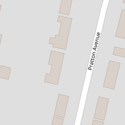
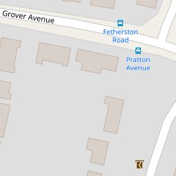
64 Pratton Avenue
£ 410,000
Description
We don't have a Description for this property.
- Bedrooms
- 5
- Bathrooms
- 0


Leaflet © OpenStreetMap contributors
The heatmap indicates the level of crime in the area. The color of the heatmap indicates the crime severity and recency.
Metrics Year-on-Year
- Average area value
- 376,936.00 £Increased by 1.71 %
- Average area rental value
- 1,412.00 £/moIncreased by 13.87 %
- Est rental Yield
- 4.50 %Increased by 11.94 %
- Crime Rate
- 5.00 %Unchanged by 0.00 %
from 370,600.00 £
from 1,240.00 £/mo
from 4.02 %
from 5.00 %
Nearby Schools
| Name | Type | Ofsted | Distance |
|---|---|---|---|
| The Globe Primary Academy | Academy Sponsor Led | Good | 0.23 KM |
| Boundstone Children & Family Centre | Children's Centre | 0.29 KM | |
| The Sir Robert Woodard Academy | Academy Sponsor Led | Good | 0.32 KM |
| Boundstone Nursery School | Local Authority Nursery School | Outstanding | 0.48 KM |
| North Lancing Primary School | Community School | Good | 0.84 KM |
Images
Nearby Streets
| Name | Average Price | Average Sqft | Distance |
|---|---|---|---|
| West Lane | £ 500,000 | 0 | 0.00 KM |
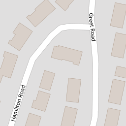
| Hamilton Road | £ 517,500 | 0 | 0.00 KM |
| Fourth Avenue | £ 462,500 | 0 | 0.00 KM |
| Honeysuckle Close | £ 0 | 0 | 0.00 KM |
| Culver Road | £ 0 | 0 | 0.00 KM |
Nearby Transport
| Name | NLC | TLC | Distance |
|---|---|---|---|
| Lancing | 5275 | LAC | 1.01 KM |
| East Worthing | 5283 | EWR | 3.36 KM |
| Worthing | 5279 | WRH | 5.67 KM |
| Shoreham-By-Sea | 5277 | SSE | 6.18 KM |
| West Worthing | 5278 | WWO | 7.46 KM |
Nearby Listings
| Address | Price | Type | Score | Distance |
|---|---|---|---|---|
| Pratton Avenue, Lancing, West Sussex, BN15 | £ 450,000 | BUY | 6 / 10 | 0.18 KM |
| Grover Avenue, Lancing | £ 425,000 | BUY | 5 / 10 | 0.21 KM |
| Grover Avenue, Lancing | £ 400,000 | BUY | 6 / 10 | 0.21 KM |
| Hamilton Road, Lancing, BN15 | £ 475,000 | BUY | Unknown | 0.23 KM |
| Upper Boundstone Lane, Lancing | £ 385,000 | BUY | 6 / 10 | 0.23 KM |
Nearby Properties
| Address | Price | Distance |
|---|---|---|
| 64 Pratton Avenue | £ 410,000 | 0.00 KM |
| 61 Pratton Avenue | £ 385,000 | 0.00 KM |
| 58 Pratton Avenue | £ 208,000 | 0.00 KM |
| 47 Pratton Avenue | £ 290,000 | 0.00 KM |
| 66 Pratton Avenue | £ 235,000 | 0.06 KM |